Panama City
About Panama CityComing Soon...
|
Storm Surge HistoryComing Soon...
|
Infographics
Statistics/ Return Period
Sea-Level Rise and Future Extreme Water Levels
Storm Surge Data Sources
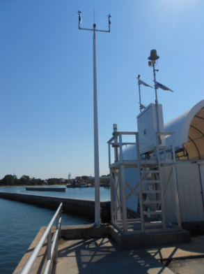
1. Tide Gauge Data from NOAA Tides and Currents
Tide Gauge Site #1: Panama City Tide Gauge
Station ID: 8729108
Operation: National Ocean Service (NOS)
Coordinates: Lat: 30.1517, Lon: -85.70
Link: https://tidesandcurrents.noaa.gov/stationhome.html?id=8729108
Verified Hourly Data
Feb 12, 1973 - Mar 22, 1976
Oct 31, 1979 - Nov 13, 1997
Apr 1, 1998 - Present
Verified 6-min Data:
May 1, 1996 - Sep 2, 1996
Jan 1, 1997 - Nov 13, 1997
Apr 1, 1998 - Present
The NOS tide gauge at Panama City provides verified hourly data since 1973 and verified 6-min data since 1996.
2. Tide Gauge Data from NOAA Tides and Currents
Tide Gauge Site #2: Panama City Beach Tide Gauge
Station ID: 8729210
Operation: National Ocean Service (NOS)
Coordinates: Lat: 30.2133, Lon: -85.8783
Link: https://tidesandcurrents.noaa.gov/stationhome.html?id=8729210#photos
Verified Hourly Data
Jan 1, 1993 - Jan 25, 2008
Sep 23, 2013 - Present
Verified 6-min Data:
Jul 31, 1993 - Aug 31, 1993
Jan 1, 1996 - Jan 25, 2008
Sep 23, 2013 - Present
No Photo Available
Missing Data
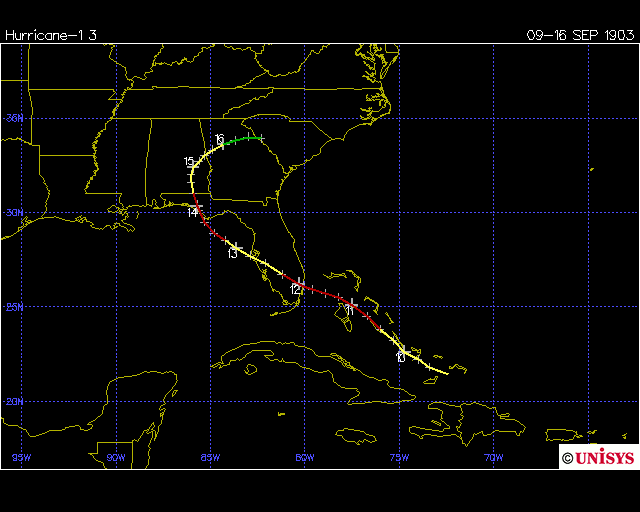
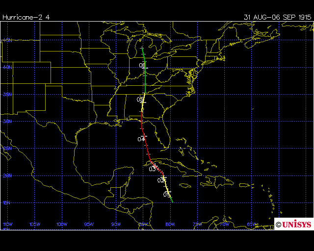
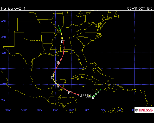
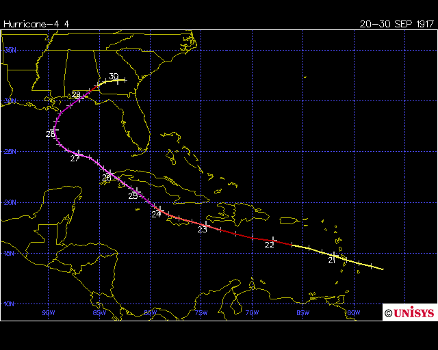
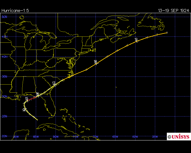
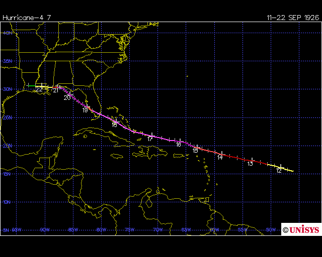
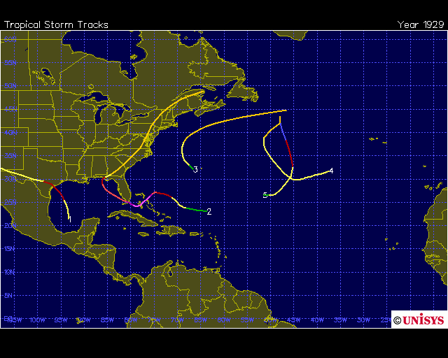
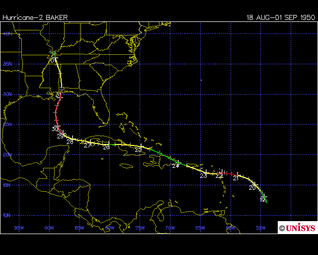
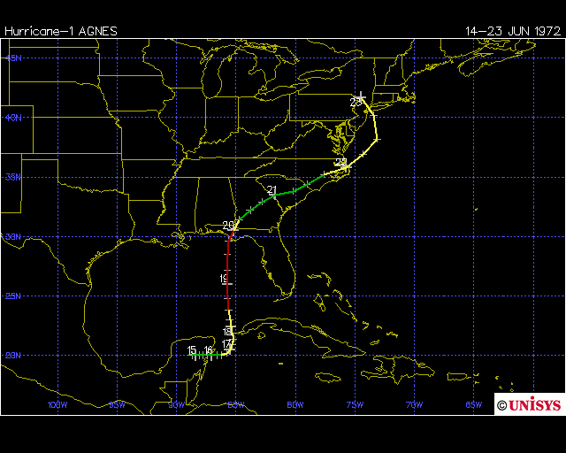
The following hurricanes may have generated storm surges exceeding 4 ft (1.22 m) near Panama City, but a literature review does not yet provide data. We have identified 10 storms from 1900- present that are missing surge data. The maps are provided by Unisys Corporation.

Multi-Media
Hurricane Michael (2018)
Hurricane Isaac (2012)
Hurricane Katrina (2005)
Katrina generated awesome surfing conditions along the Florida Panhandle. This video shows footage along with some pretty heavy music. I will not post surfing/ playing videos from the area of greatest impact, as such actions are life threatening. Away from the landfall zone, however, Katrina generated great surfing conditions in Texas and Florida.
Hurricane Ivan (2004)
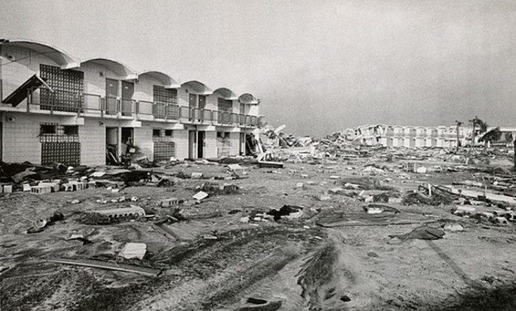
Great video of waves slamming a pier early on, footage of wind and surge in different parts. Check out the massive erosion visible on the morning after, at around 10:10 in the video. Sharp cuts in the dunes.
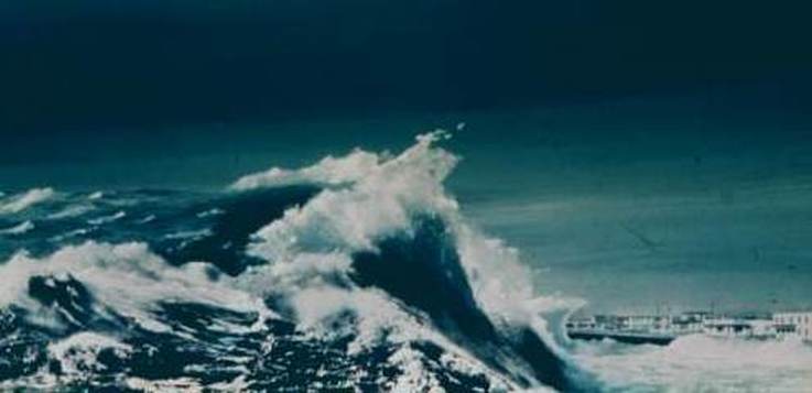
Hurricane Opal (1995)
Hurricane Eloise (1975)